A Short Old Tokaido Walk in Hakone: Stone Paths and Amazake Chaya
You do not have to walk the whole climb to enjoy Hakone’s Old Tokaido. For a shorter outing, build around the roughly two kilometres from Moto-Hakone towards Amazake Chaya. Walk the forest’s stone path, rest at the teahouse and return by bus.
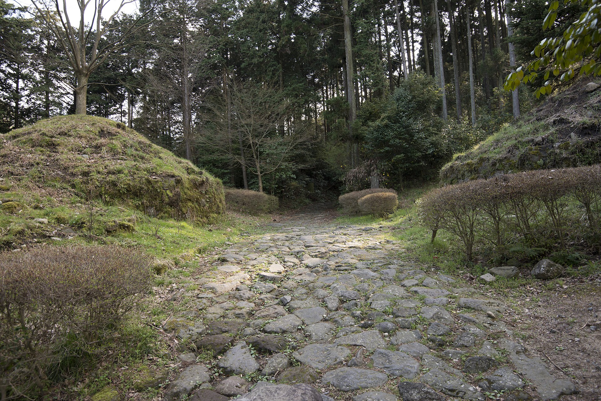
This is not a paved lakeside promenade. Uneven stones and slopes make it closer to a short mountain-path walk than an extension of a stroll around town.
A walking day—or just a teahouse day
Choose the stone path on a dry day with suitable shoes and time to spare. When the stones are wet, snowy or icy, take the bus to the teahouse instead. The forest is more enjoyable when you are not hurrying while watching every step.
Do not force the stone section into a trip with a stroller, a large suitcase or a companion unsteady on their feet. Leave luggage at your accommodation or another suitable place and carry a small bag that keeps your hands free.
From Moto-Hakone to a teahouse break
Keep the Japanese place names with your map
Save Moto-Hakone (元箱根) as the starting area and Amazake Chaya (甘酒茶屋) as the teahouse endpoint. The wider Old Tokaido route continues towards Hatajuku (畑宿); that name on a sign does not mean you must keep walking there. Use a downloaded route map alongside the on-site signs, and check where the walking section meets the bus stop before leaving.
Kanagawa Prefecture’s guide places the Amazake Chaya park area around two kilometres from Moto-Hakone towards Hatajuku. Check the direction at the trail entrance and follow signs at road crossings and junctions. Even over a short distance, uneven stones slow the pace compared with a city pavement.
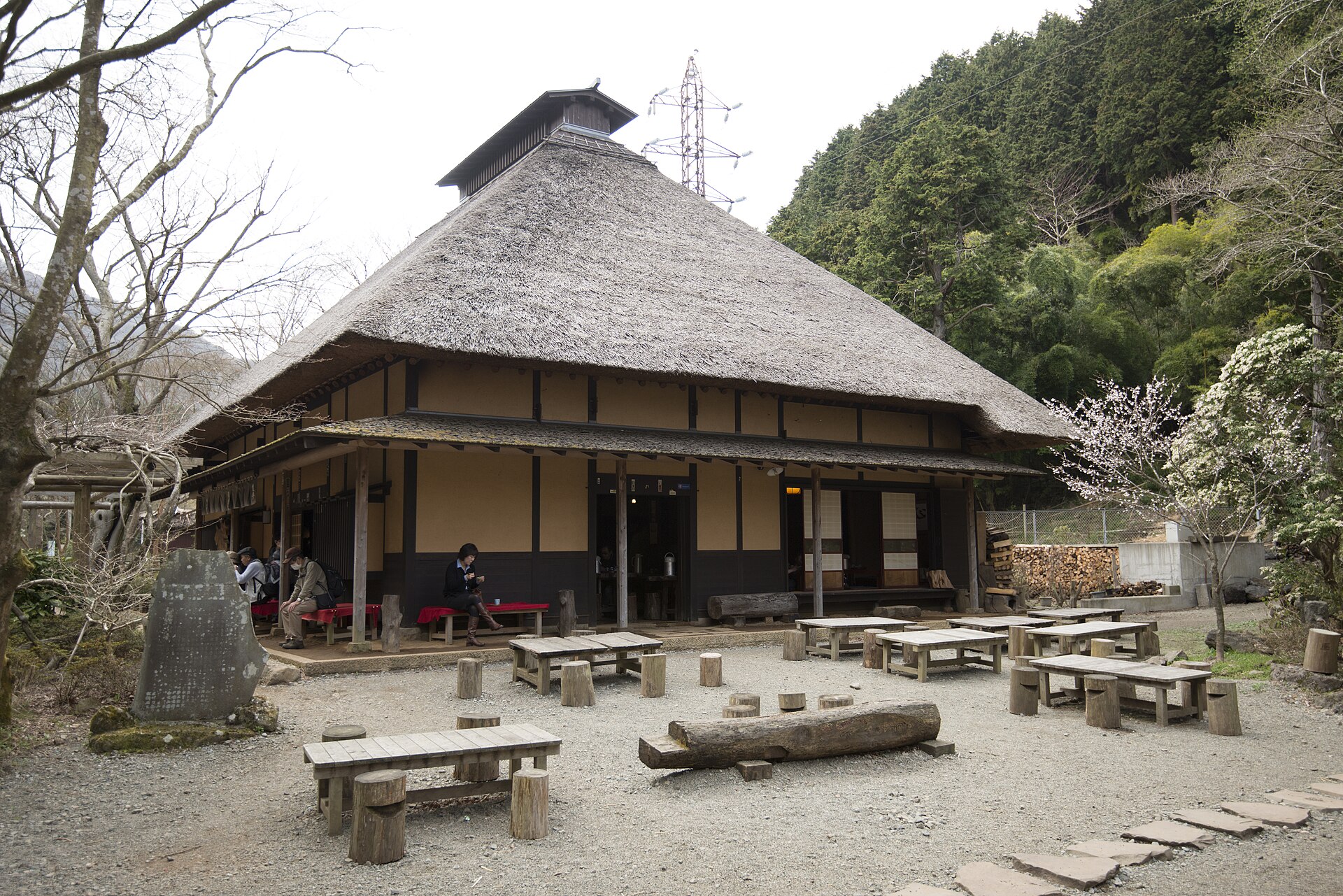
A break at the teahouse makes the walk itself part of the Hakone visit. Leave room for the stop before your return bus. The park area has toilets but no dedicated parking.
Know the return bus before you start
Amazake Chaya is served by the K-route bus between Hakone-Yumoto and Moto-Hakone via the old road. If the teahouse is your walking endpoint, look up the stop and timetable for your return direction before setting off.
Going back to Yumoto and returning to a Moto-Hakone hotel or port mean opposite directions. Allow time for the break and the walk to the stop, rather than aiming to arrive just before departure. A long wait is not a reason to add more stone-path walking than you intended.
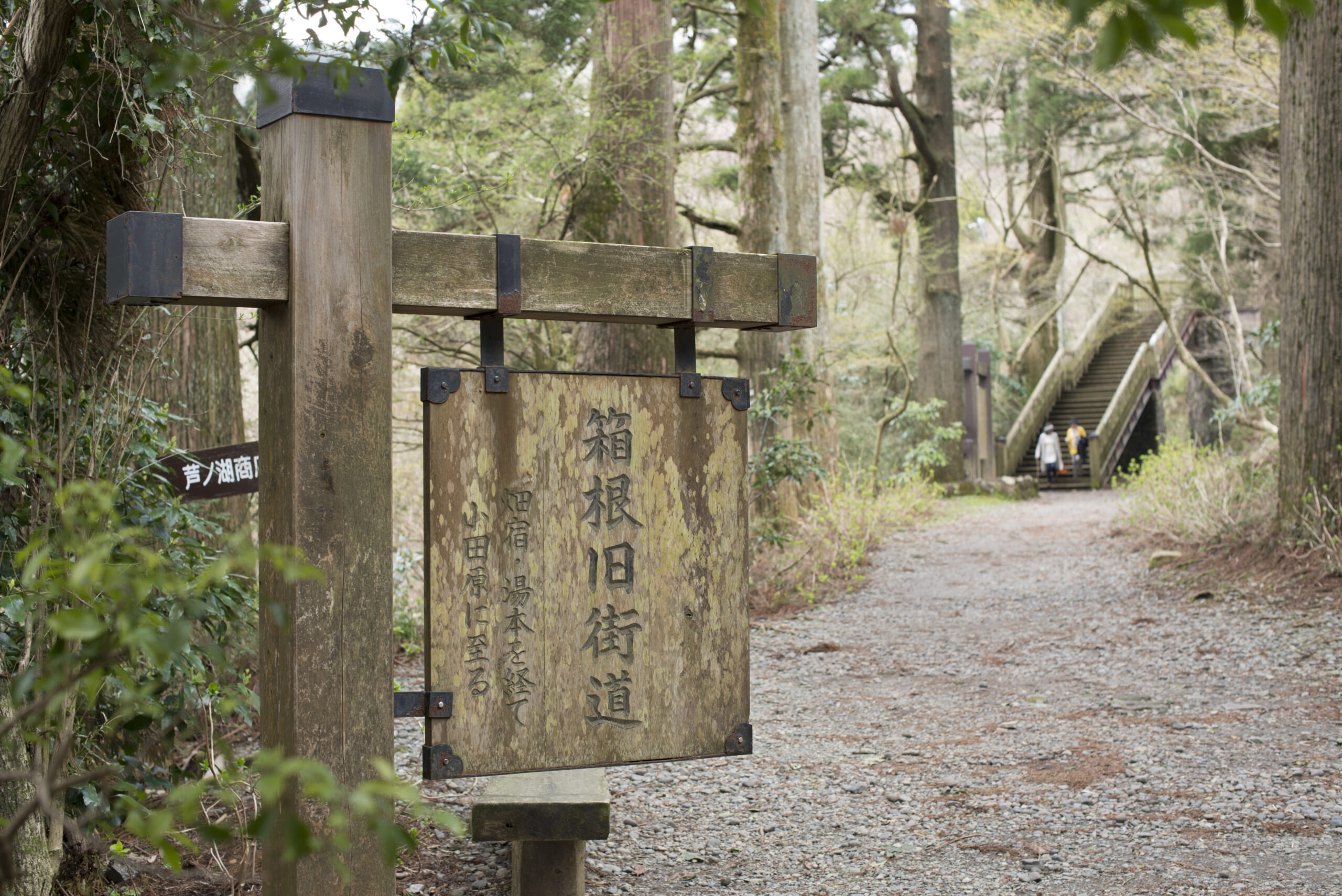
The official route guide also includes a 9.5-kilometre stone-path course. That and this roughly two-kilometre detour are different plans: the shared “Old Tokaido” name does not make their time and equipment needs the same.
If you like crafts, consider Hatajuku’s yosegi marquetry as a separate stop. Using transport between the path, teahouse and workshop, rather than walking every connection, makes a short Hakone stay easier to fit together.
Information checked: October 5, 2026.
Official information
Photo credits
- Old Hakone Highway near Hatajuku (9409319981).jpg — Maarten Heerlien from Voorschoten, The Netherlands / CC BY 2.0 / 2013-04-05 08:27. Resized for display; image content unchanged.
- Amasake-chaya (9412075720).jpg — Maarten Heerlien from Voorschoten, The Netherlands / CC BY 2.0 / 2013-04-05 07:42. Resized for display; image content unchanged.
- Start of the Old Hakone Highway (9412055176).jpg — Maarten Heerlien from Voorschoten, The Netherlands / CC BY 2.0 / 2013-04-05 06:35. Resized for display; image content unchanged.
.jpg)
.jpg)
.jpg)
Structure and selected guidance updated: October 15, 2026.